 |
 |
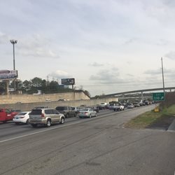
| This is what I wanted to avoid. |
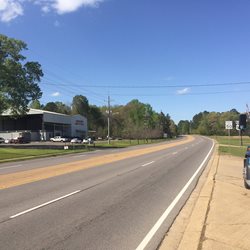
This is what I desired to find . |
This week, I was headed back from Laredo, TX to North Carolina for the Easter weekend. Many people are off work to celebrate Good Friday and the roads were already busy from holiday travelers. I was thinking to myself that I might want to consider taking another off the beaten path route in order to  avoid heavy traffic. The specific area which concerned me was I-10 East just over the Mississippi River where three lanes converge into one lane. Traffic backs up in this area on a regular basis on a normal day.
On the evening before Good Friday, I decided to look for an alternate way around to avoid the aggravation and delay. You can never be sure when you take an alternate route whether your jumping from the pot to the frying pan but I had a pretty good feeling this would be a good move. I took exit 44 off I-10 to US-165 N to I-49 N at Alexandria, LA then proceeded onto SR-28 to US-84 through Natchez, MS until I reached I-59 in Laurel, MS which took me back onto my normal route. When I checked this route on the GPS, it indicated being 14 miles shorter and half an hour longer. This seemed like a small price to pay to avoid traffic congestion. I was surprised to see that most of the routes were divided four lane highways and most importantly offered very little traffic. This made for a pleasant  drive with lots of nice scenery along the way. This led me to thinking upon days prior to the GPS when it was common place for drivers to sit around talking and sharing various routing information with one another. Today, you don’t hear drivers talking much about routes as most of us are now connected to “routing information technology.”
Years ago, I had quite a few alternate routes while transporting on the east coast. Today, my route takes me westward and I follow the GPS. This little discovery on Thursday is going to have me searching out more of these alternate routes in the future. With that said, I’m not going to throw out the GPS as this modern technology is a much valued tool. I think the trick here is to combine the best of both worlds by researching additional routes along my path as well as following the GPS for direction.
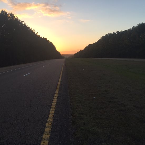
| As the sun set on the day, I found myself pleased with my decision to divert. |
 |