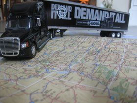
When I was preparing to begin my business in the transportation industry, I took a long, hard look at where I was positioned on the map. At the time, my home residence was located just 18 miles north of the city of Charlotte, NC. This happened to be a fantastic location in regards to the interstate system.
Many of you who know me are aware that I enjoy history as it often gives you a picture of the future. Here is an example of how history played a role in developing my business.
One weekend, I was visiting the North Carolina Transportation Museum in Spencer, NC and came across an interesting map showing how our transportation routes were developed many years ago. I learned that most of our transportation system through various modes of transport (horse and wagon, railroad, interstate and US highways) followed almost the same identical Indian trading routes of the past. It occurred to me that this was several hundred years of history and those lanes still remain viable for transportation today. I realized that my positioning for my trucking business was in an excellent location to capitalize on freight opportunities. Just being outside of the major city of Charlotte, gave me easy access to I-77 North which connects to I-40 for East/West movement or I-81 for passage to the

Northeast. If I turned around and looked to the South, I had a clear path down I-77 South to I-26 connecting me to I-95 for movement southbound. I-85 to the North afforded me a route closer to the coast for easy access to the Northeast corridor. I-85 South was a direct artery to Atlanta, GA with access to I-20 West and I-65 to the Gulf Region.
My close proximity to major routes of commerce allowed for additional freight opportunities in many directions. Also, being at these crossroads of the interstate system afforded me time at home with minimal out of route miles during the journey home to Charlotte, NC. I attribute a great deal of my success in being a profitable carrier due to the convenience of my location within the highway system.